

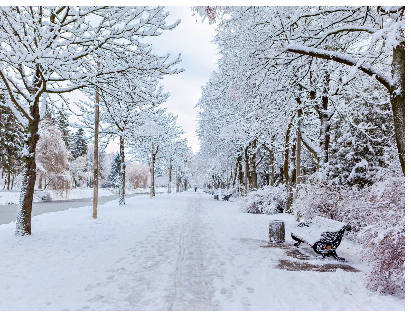
Will New Jersey see a snowy winter? That is the question many families are already asking as El Niño approaches. The honest answer is that the season may bring more uncertainty than certainty: a generally warmer Northeast can still experience a major snowstorm when moisture, cold air and the storm track line up at the right time.
For New Jersey and the broader Northeast, the important story is not simply whether winter will be “snowy” or “not snowy.” It is how often temperatures hover near freezing, where coastal storms travel, and whether precipitation arrives as snow, rain, sleet or freezing rain. Those small differences can change a commute, a school day or a weekend for entire comunidades.
What El Niño may set up across the country
El Niño is expected to continue through the Northern Hemisphere winter, shaping the jet stream and influencing where warmth and moisture are more likely to gather. In broad terms, the pattern often favors a wetter southern storm track, including parts of California, the Southwest, the southern Plains and the Southeast. That moisture can sometimes spread toward the East Coast and help provide fuel for coastal storms.
That does not automatically mean a snowier New Jersey. A storm still needs sufficiently cold air near the ground and through the lower atmosphere. If the cold arrives too late, moves out too quickly or stays north of the state, the same moisture may fall as rain or a mix of rain, sleet and freezing rain.
What NOAA is-and is not-forcasting: NOAA’s Climate Prediction Center provides seasonal probabilities for temperature and precipitation. It does not forecast exact snowfall totals, individual storm tracks or specific storm dates. A seasonal outlook describes the odds over a broad region; it is not a day-by-day forecast for every town or every familia.
The current outlook favors above-normal temperatures across much of the northern tier, including the Northeast. Parts of the Great Lakes have a slight tilt toward below-normal precipitation. Together, those signals may make snow cover less persistent and increase the chance that borderline storms produce rain-or-snow or mixed precipitation instead of all snow.
Keep this in mind: A warmer seasonal pattern can lower the number of snow days without eliminating the possibility of one or more singnificant individual storms.
Image Source
- El Niño: Canva












Leave a Reply